Maps
The only map projection supported is the Equirectangular projection; this covers the entire planet with a 2×1 aspect ratio. All standard image formats such as jpg, png, tiff are supported.
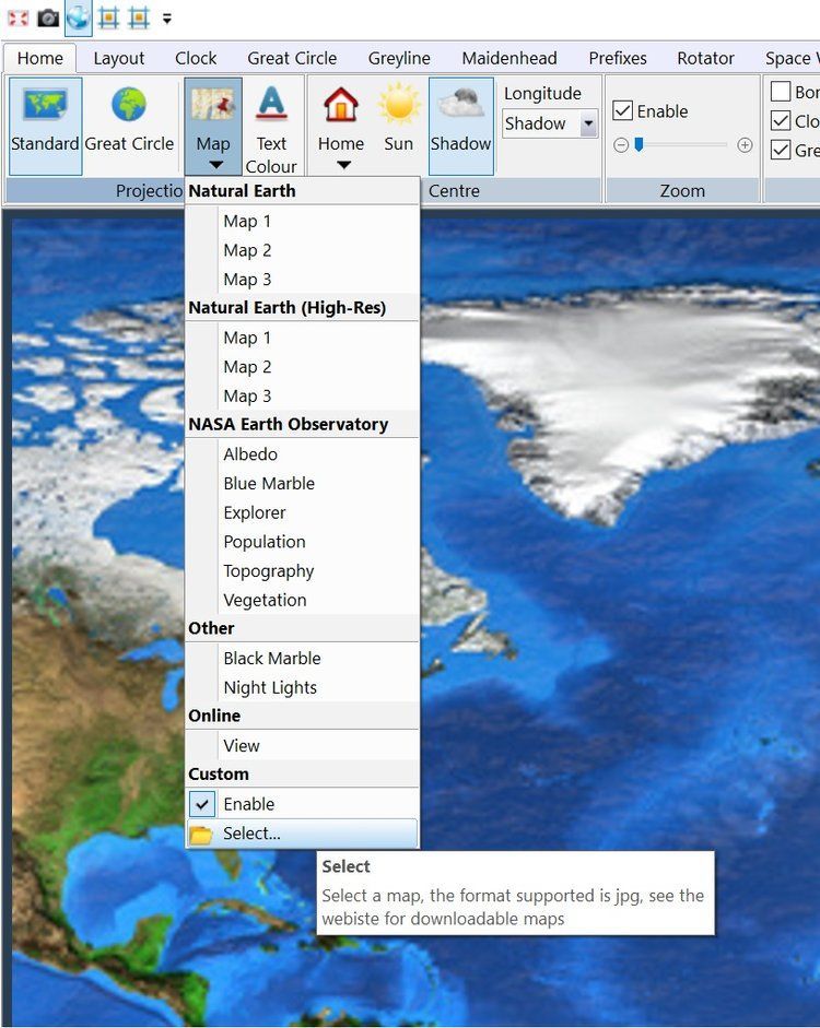
Selecting Other Maps
At the bottom of the Map dropdown:
- Click the Select option,
- In the file selection window select a file you have downloaded,
- Click Enable.
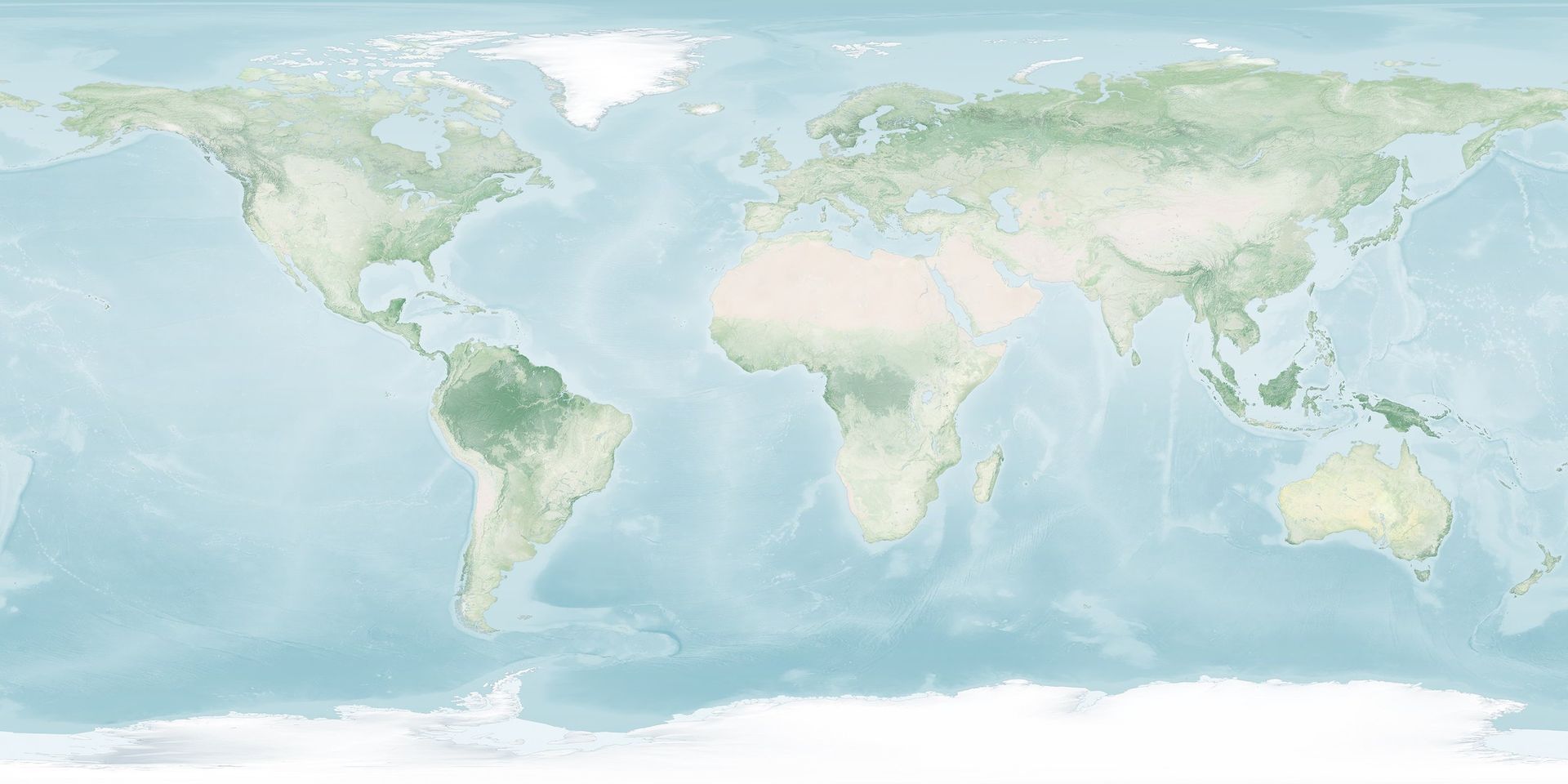
Deviant Art
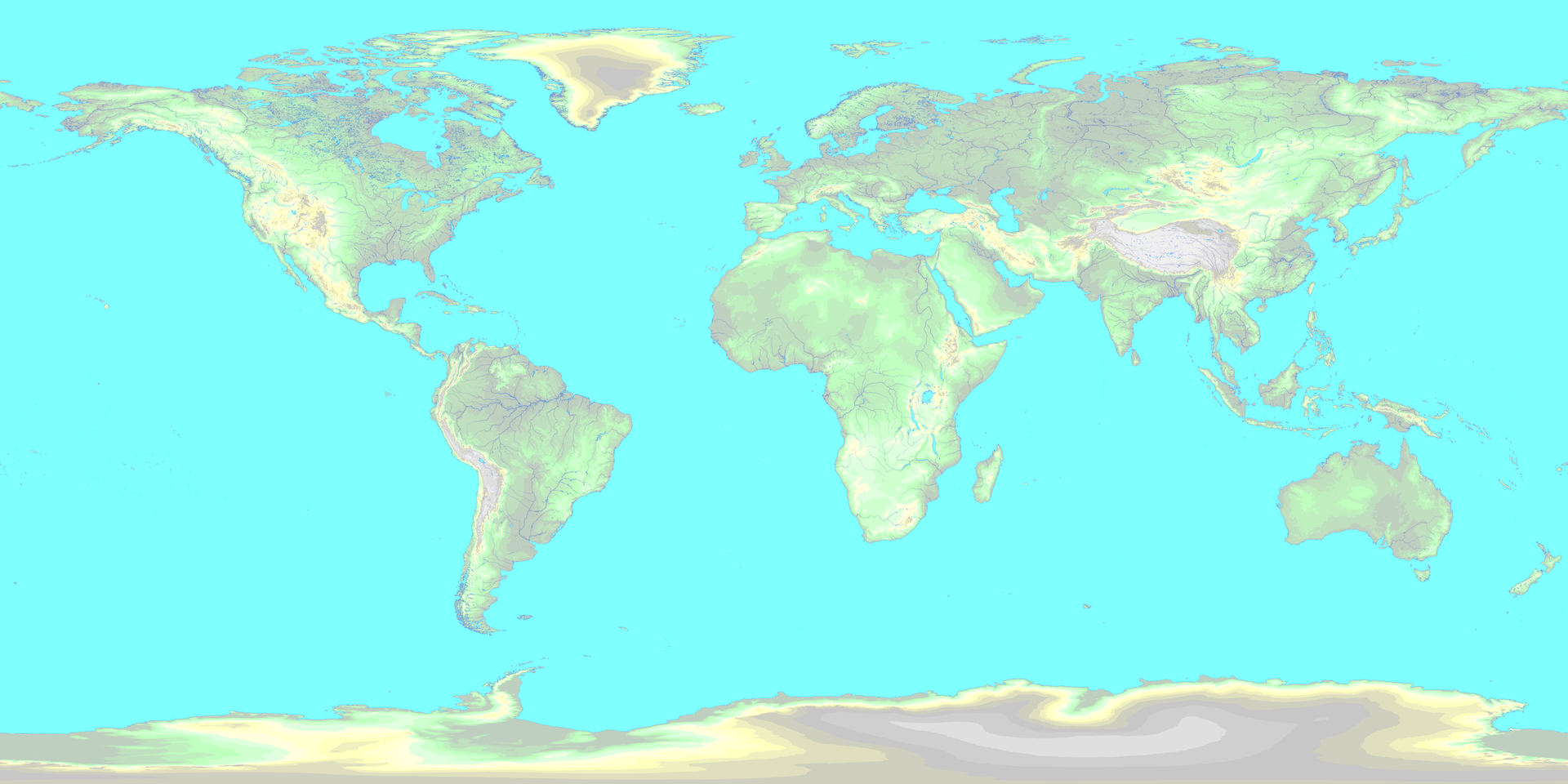
This is a most amazing site where artwork can either be downloaded for free or purchased. The member discordia-terra created World-M Mk2 'Complete', described as ‘The definitive edition of a new series of equirectangular maps, featuring finely stencilled rivers and coast with topographic information’.
Download this map from Deviant Art to your computer. As it is in PNG format you must use either version 1.2.6 or later of the World Map to select it directly, or if using an earlier kit you must convert to JPG, for example with Paint.
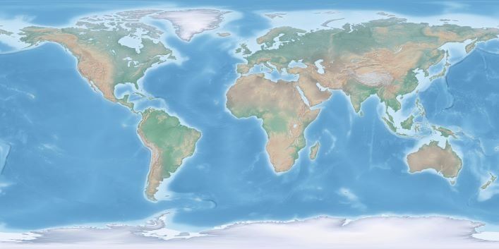
NASA Visible Earth
The program uses the Explorer Base Map, higher resolution downloads are available here. If the link is broken just search for 'NASA Visible Earth, Explorer base Map'.
The highest resolution TIFF format (0.1 degree) can be opened with this program, great for zooming!
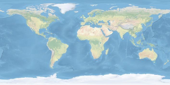
Natural Earth
The program includes three resized Natural Earth maps which have been resized to 4k or slightly less. Higher-resolution files scale better when a Zoom is applied, but you may have problems loading them, especially on older computers running 32-bit versions of Windows (see Errors below).
Click on a link below to download the image to your computer, then select the image (Ribbon bar, Map, Select). Only jpg, png and tiff format images are supported.
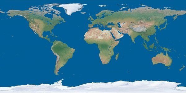
Wikipedia Commons
Maps of the world with equirectangular projection
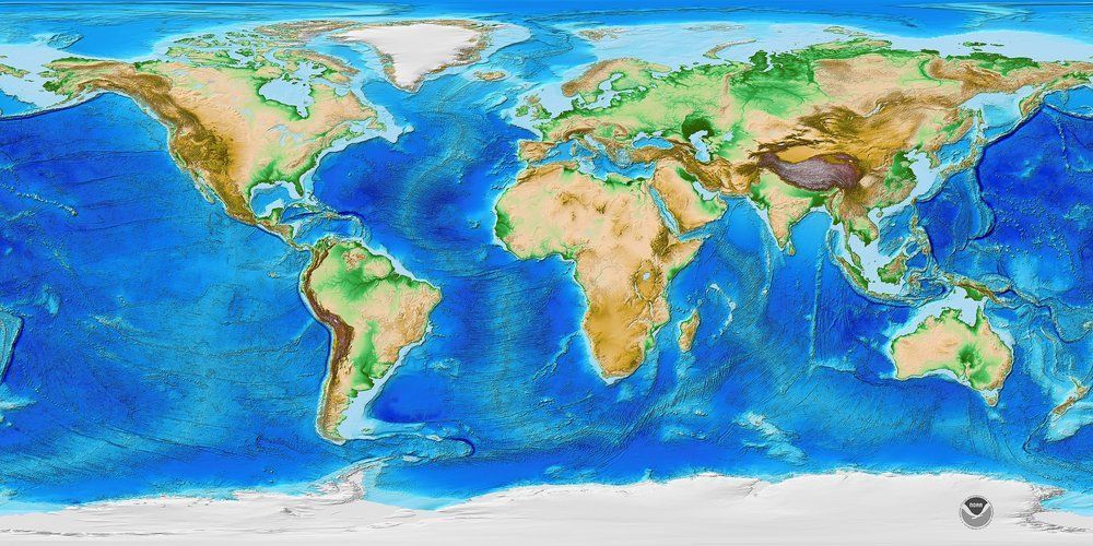
are here. A god map to use is “ETOPO1, Worldwide elevation model with water depths“.